Tutorial Flooding Analysis revised
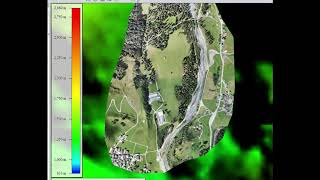
17:47
Tutorial: Mapping with drones, Part 4; Merge DEM with SRTM model
15:40
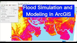
Flood Simulation and Modeling in ArcGIS

18:53
Create and Export Flood Simulation for Adyar River Basin Using ArcGIS Pro 3.3
14:36
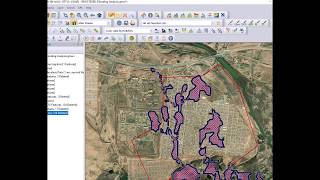
Flooding analysis, work flow with Global Mapper

8:40
Downloading High-Resolution Topographic Maps for Free

45:13
Google Earth Engine Tutorial-63: Urban Flood Detection, using SAR and Precipitation Data

1:07:00
Sezen Aksu En Sevilen Şarkıları (1 Saat)

16:58