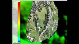
Tutorial Flooding Analysis revised
17:47
Tutorial: Mapping with drones, Part 4; Merge DEM with SRTM model
14:36
Flooding analysis, work flow with Global Mapper
15:40
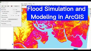
Flood Simulation and Modeling in ArcGIS

9:21
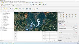
Tutorial QGIS-Plugin "Floodplain Inundation Calculator"
56:01
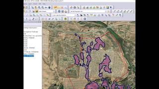
Flooding Analysis

24:07
Analyze floods using ONLY Python! (aka spatial data science)
21:29
Flood Animation Mapping

17:25