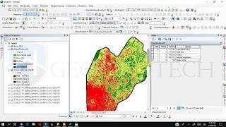
How to Create LULC using ArcGIS/ Supervised Classification and Calculate Area of LULC

26:43
How to calculate land surface temperature from Landsat 8 Satellite Data

27:53
Landsat 8 Image Classification with ArcGIS (Supervised)
22:04
How To Make a Landuse and Landcover Map in ArcGIS

18:17
Unsupervised Classification | LULC Mapping in ArcGIS

27:04
Landuse & Landcover Mapping using ArcGIS | Supervised Classification

10:01
Land use/Land cover Change detection Analysis for an Area over a certain timeline like 1989 to 2020

15:06
Boost your survey crews field efficiency using TBC and QGIS

19:09