QGIS Part2 - How to extract, merge and clip vector data

12:38
QGIS Part1a - How to import, export and view vector data
14:56
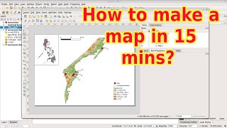
QGIS Part4 - How to create your first map in 15 mins

11:24
QGIS Part3 - How to import, export and customize raster data
1:37:53
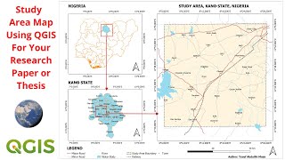
Create Study Area Map For Your Geophysical Research Paper or Thesis Using QGIS

11:20
Downloading OpenStreetMap data using QGIS and QuickOSM

44:47
Digitization of Polygon, Line and Point Feature in Topographical Map Using QGIS
13:45
Creating and editing a shapefile in QGIS

4:35:32