Prepare Elevation Map with Contour Lines in QGIS | Latest Tutorial
12:47
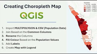
How to Prepare a Choropleth Map Using Population Data | QGIS Tutorial

14:21
Creating and Styling Contour Lines in QGIS

9:12
How to extract contour lines And DEM from Google Earth

8:57
Creating 3D maps in QGIS

14:21
QGIS Contours and Contour Labels

5:58
Introducing: the AI Georeferencer for QGIS

11:29
QGIS BASEMAPS: the ULTIMATE GUIDE

20:27