Digitization of Polygon, Line and Point Feature in Topographical Map Using QGIS

18:57
How to do Digitization with QGIS 2020 II ডিজিটাইজেশন in QGIS

30:20
How to Make a Map using QGIS3

4:35:32
Introduction to QGIS (Full Course, Ad-Free)

19:13
How to create 3D Model of DEM image using QGIS
1:37:53
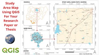
Create Study Area Map For Your Geophysical Research Paper or Thesis Using QGIS

12:01
Análise de Entorno com Google Earth e Photoshop

32:01
Landsat 8 Image Classification using QGIS

15:01