Create REMs in QGIS for Flood and River Analysis (Detrended DEMs)

16:33
Make quick inundation maps in QGIS using Open Data

26:55
QGIS: Reservoir volume from DEM - Kajaki Reservoir, Afghanistan
32:52
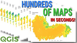
Make Hundreds of Maps in Seconds with QGIS (How to Automate Map Layouts and Data with Python)

25:54
Deriving River Network & Catchments from a DEM using QGIS

5:58
Introducing: the AI Georeferencer for QGIS

16:47
Quick Flood Analysis with QGIS

19:52
Dentro da Arma V3 Londres

17:31