Deriving River Network & Catchments from a DEM using QGIS

1:08:48
Complete QGIS Watershed Delineation Tutorial

30:20
How to Make a Map using QGIS3

14:25
Deriving River Network and Catchments and Watershed Delineation from a DEM using QGIS

14:00
Stream Order from a Digital Elevation Model (DEM) using ArcGIS
26:15
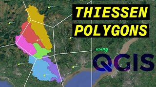
Analyzing the Areas of Influence with Thiessen Polygons using QGIS

32:01
Landsat 8 Image Classification using QGIS
18:29
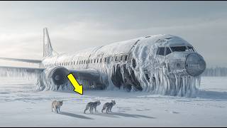
Cientistas encontraram um avião congelado – O que havia dentro os deixou chocados!
18:00