Rayshader Tutorial—Florida Population Density
58:20
Join and Summarize Spatial Data
20:28
Tyler Morgan-Wall - Building an Entire City in R: Interactive 3D Data Visualization with Rayrender
34:41
Faire une Carte 3D de la Population - Aerialod et QGIS
32:08
Double group on x axis with ggplot

1:02:58
Tools for multi-agent reinforcement learning: from simulation in VMAS to training in BenchMARL
19:20
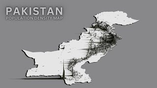
How to Create 3D Population Density Map Render using QGIS, Aerialod and Canva Tutorial 2024

10:03
How to use BlenderGIS for Population Density 3D Maps

8:09