How to Create 3D Population Density Map Render using QGIS, Aerialod and Canva Tutorial 2024

1:44:53
Rayshader Tutorial—Florida Population Density
9:26
Population density spike maps in QGIS
13:18
How to create Population Density Map in QGIS
21:48
Nouveautés XCS 2.4.x - xTool Creative Space
7:59
Adding Advanced Latitude and Longitude Grids in ArcMap (ArcGIS Tutorial)
34:41
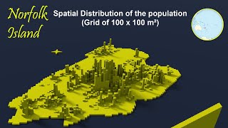
Faire une Carte 3D de la Population - Aerialod et QGIS

47:42
People Mapping: Finding and Using Demographic Data

12:58