how to download land use, land cover data from usgs and create lulc Map? How to download lulc data
3:29
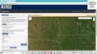
HOW TO CREATE ACCOUNT IN USGS EARTH EXPLORER | How to Register In USGS Earth Explorer
15:32
Download Free Land Cover data from Earth Explorer / USGS

32:01
Landsat 8 Image Classification using QGIS
18:49
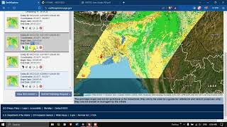
Download MODIS Land cover data from USGS Earth Explorer #earthexplorer #Landcover #usgs

29:53
LULC change detection using ArcGIS | 2001 & 2021
6:15
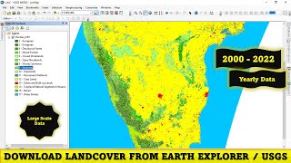
how to download land use, land cover data from 2001 to 2022

23:22
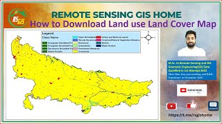
How to prepare Land Use/Land Cover Map and Calculate Area of LULC using ArcGIS Pro

25:21