Exploring the New Elevation Profile Tool with Point Clouds in QGIS 3.26

20:39
Point Cloud Processing with LiDAR Tools of WhiteboxTools in QGIS
9:03
Compare Raster DEMs, Contours and Point Clouds with the Elevation Profile Tool in QGIS

11:55
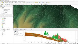
Awesome Lidar Visualizations with QGIS 3D View!

30:20
How to Make a Map using QGIS3

2:21
Software engineer interns on their first day be like...
14:28
Generate a DSM from a point cloud in QGIS using the LASTools plugin

21:13
Stream and catchment delineation with GIS (theory)

19:00