How to Make a Map using QGIS3

32:01
Landsat 8 Image Classification using QGIS

1:10:08
An Absolute Beginner's Guide to QGIS 3

25:54
Deriving River Network & Catchments from a DEM using QGIS

49:13
Geocoding + Data Cleaning Tutorial with Python
26:15
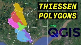
Analyzing the Areas of Influence with Thiessen Polygons using QGIS
58:20
Think Fast, Talk Smart: Communication Techniques

11:29
QGIS BASEMAPS: the ULTIMATE GUIDE
1:53:40