Watershed Delineation from DEM using Arc Gis 10.5

6:36
Filling Attribute Table Automatically Using Field Calculator in Arc Gis.

13:38
How to fixed features(shape file) color or Rule id using Arc GIS.

6:14
How to Create Contours from a Raster in ArcGIS || Contours Lines from DEM in ArcGIS

9:44
How to set two label on and different coloring .shp file using Arc GIS

10:17
How to collect Elevation using point .shp in Arc GIS.
17:50
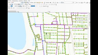
Geometric Network Analysis (Flow Direction) In Arc GIS

12:17
How to collect spatial data from google map and collected data plotting in Arc GIS.

8:36