Stream and Analyze Point Clouds in QGIS without Downloading (You can't do this with ArcPro!)

11:18
You need to use the GeoPackage file format!
32:52
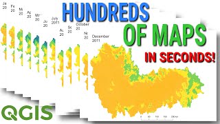
Make Hundreds of Maps in Seconds with QGIS (How to Automate Map Layouts and Data with Python)

14:35
From DEM to point cloud

39:26
2024 FREE and better LIDAR for Metal detecting with QGIS - increase your finds rate.

5:58
Introducing: the AI Georeferencer for QGIS
34:15
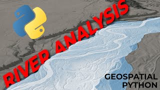
Spatial Data Science to Analyze Rivers with Python

6:13
Create and Use Virtual Point Clouds in QGIS

8:33