How to use Machine Learning to make Land use and Land Cover Classification using satellite imagery
27:20
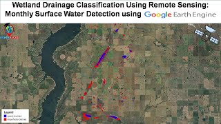
Wetland Drainage Classification Using Remote Sensing: Monthly Surface Water Detection using GEE

1:00:02
How to use Machine Learning to make Land use and Land Cover Classification using Google Earth Engine

1:21:34
Assessing land surface temperature and urban thermal field variance index using Landsat imagery

1:29:22
Live training on Google Earth Engine for Filtering and displaying satellite imagery Composite

57:52
🎥 GDEV Presents: Introduction to Google Earth Engine! 🌍✨@SpatialThoughts

26:43
Land use and Land cover classification using Google Earth Engine Supervised classification using GEE

1:12:20
Supervised Classification for Land Cover Mapping with Landsat 8 in Google Earth Engine

1:35:07