How to Make this 3D Diorama of the Straits of Mackinac

5:37
Reimagining a Classic Cheysson Map

22:42
How to Make a 3D Diorama in ArcGIS Pro
26:17
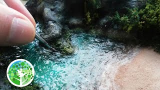
Making a beautiful coastal diorama: The Cove

16:55
Make a Vintage Forestry Map 3D using Modern Forestry Data

28:39
Challenger Deep as a Micro World

51:17
SPEAKER SERIES - OCT 2024 - 3D ANALYSIS OF FLOOD IMPACTS IN MISSOURI CITY CONSIDERING RAINFALL RATES

16:58
3D Visualizations in ArcGIS Pro

1:10:19