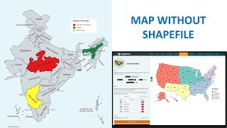
Create Study Area Locator Map without Shapefile using ArcGIS

5:06
Spatio-temporal Variations by Extracting LULC classes separately | ArcGIS Tutorial

26:28
Creating Shapefile and Study Area Map for any Location | Latest Tutorial using QGIS

6:45
Creating Study Area Shapefile from Google Earth and ArcGIS

16:58
3D Visualizations in ArcGIS Pro

14:56
How To Make Study Area Map in ArcGIS. Complete Process. #arcgis #studyareamap #civilengineering

18:36
Create Map Layout in ArcGIS – Study Area Mapping
8:11
Prepare a Map without any GIS Software & Shapefile

1:01:14