Analyse de la relation entre l'utilisation des terres et la couverture terrestre (LULC) et les va...

21:39
Interactive NDVI Visualization (1987-2025) Using Landsat Composite in Google Earth Engine

55:28
Remote Sensing Analysis with R: Land use and Land Cover Classification using Machine learning in R

30:17
River Stream Order Map in ArcGIS || Hydrology Analysis using ArcGIS
19:35
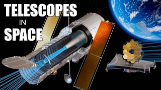
Bir Uzay Teleskobu nasıl çalışır? (Hubble ve Webb)

59:17
Spatial Analysis and Visualization of Climate Data Using R || BIOCLIM data

13:36
Lawrence: Trump humiliated on the world stage as France's Macron instantly corrects his Ukraine lie

39:07
Mapping surface water using Earth Engine (Floods, Water change, Seasonal Reservoirs)-part: 1

12:55