using SRTM data for hydrologic calculations in ArcGIS (part 2): watershed delination

28:31
using SRTM data for hydrologic calculations in ArcGIS (part 1)

12:21
How to use a DEM to delineate a Watershed/Basin in ArcGIS
51:21
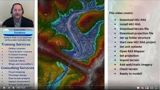
HEC-RAS Basics Part 1 of 8: Download and install HEC-RAS with tips and tricks for getting started

13:29
Watershed Delineation using Hydrology Tool in ArcGIS

21:55
Automatic Lineaments Extraction

10:36
Dieter Nuhr GENIALE Wahlempfehlung 📢 So PEINLICH ist die Politik 🤡

19:10
analysis of a digital elevation model in ArcMAP

1:21:55