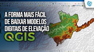
QGIS - Plugin para baixar MDEs (SRTM, Copernicus, NASADEM, etc)

13:45
Forma mais fácil de baixar MDE Copernicus, ALOS e SRTM com OpenTopography

18:45
MDE de 10m com UMA imagem Sentinel? E o Topodata, o que tem a ver com isso?
12:30
Como Baixar MDE no QGIS usando o Plugin OpenTopography DEM Downloader

7:49
Baixar MDE Copernicus de 30m no Open Topography e abrir no QGIS

24:47
Como acessar os dados do Censo IBGE 2022 - Plataforma Geográfica Interativa e plugin no QGIS

10:02
Como Gerar Mapa de Declividade no QGIS?

29:31
Whitebox Workflows - bliblioteca GRATUITA de python para SIG ultra-rápida

7:18