Introduction to Spatial Data & GIS
2:55
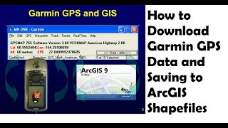
How to Download Garmin GPS Data and Saving to ArcGIS Shape files | How to Add GPS Data to ArcGIS.
52:56
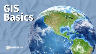
GIS Basics

18:46
What is Remote Sensing and GIS?

21:34
How to Perform a Simple Spatial Data Analysis using QGIS

7:49
Geographic Information System as a Career: What I Wish I Knew
1:40:22
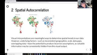
Introduction to Spatial Statistics with Python

24:46
How I Would Learn GIS (If I Had To Start Over)

8:03