I Surveyed 120 Acres with a Drone

10:55
I Surveyed a Landfill with a Drone

12:29
How to Start a Drone Surveying Business: The Ultimate Guide

13:33
Topographic Surveying for Beginners
15:12
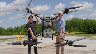
Most POWERFUL Drone I've Ever Flown! DJI Flycart 30

17:42
What Does A $350K LiDAR Project REALLY Look Like?

17:10
Total Station vs. GNSS Receiver: Which is the Better Surveying Tool?

13:43
Drone Surveying for Beginners

11:02