Hypsometric Symbology With Elevation Rasters
9:16
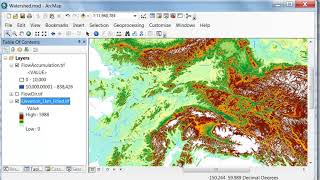
Delineating a Watershed in Arcmap

7:54
Using Polygons and Points With Rasters

8:45
Member Spotlight - TechFuse AI

7:38
Make a Hypsometric Tint

2:21
ArcGIS: Create a Custom Color Ramp

7:47
Showing DEM in 3D View in ArcGIS || DEM in 3D View in ArcMap || DEM in Arcsene

54:10
A Vida na Vila Mais Fria do Mundo −71°C Uma Jornada Através das Quatro Estações

7:00