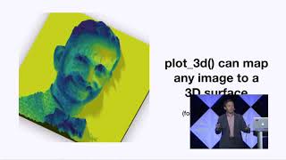
3D digital elevation maps with elevatr, rayshader and rayvista in R

27:49
Create crisp topographic maps with R

18:46
GIS 101: Mapping data points in R
19:02
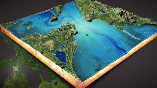
How to Make this 3D Diorama of the Straits of Mackinac

23:01
How to Make Amazing 3D Vintage Topo Maps
7:09
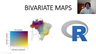
How to Make Bivariate Maps in R Easily (using bivariatemaps package)

8:02
Downloading Digital Elevation Data (SRTM) from USGS EarthExplorer

21:26
How To Create Interactive Maps with R | Step-By-Step Tutorial
23:05