Tuatahi - Mapping whenua, whakapapa and tangata whenua
41:53
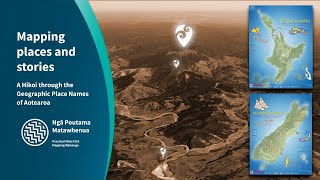
Mapping places and stories: A hīkoi through the geographic place names of Aotearoa

1:08:44
Utilising key datasets for Māori climate resilience and whenua protection

53:59
Te Whakapapa o ngā Awa: Freshwater data, monitoring health, flow, and catchments

46:19
Working with 1m LiDAR to make cool 3D elevation maps

59:21
Open Data Cube: Dr Stuart Minchin

1:01:14
Aotearoa Property Data Network - November 2024 webinar - Spotlight on Northern Regions

29:50
How to Certify & Sign, Release and Submit on New Landonline webinar

57:03