Slope & Aspect modelling in QGIS 3.4
13:05
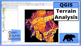
QGIS Terrain Analysis: hillshade, slope, aspect (Version 3.x)
10:02
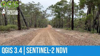
QGIS NDVI Analysis with Sentinel-2 Imagery

32:59
QGIS 3 for Absolute Beginners

33:40
Stream and Catchment Delineation in QGIS using SAGA Tools
19:15
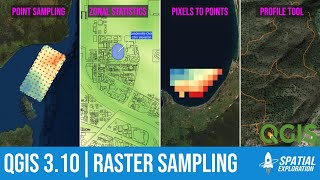
Sampling raster layers in QGIS

23:47
Very High Resolution DEM and Contour from Google Earth || Q GIS 3.14 || Detailed Hands-on ||

32:12
Wolfgang Grupp explodiert auf unserem Event

31:17