QGIS: Reservoir volume from DEM - Kajaki Reservoir, Afghanistan

16:58
QGIS: How to create a groundwater contour map using the Thin Plate Spline (TPS) Interpolation

14:27
Excel: Reservoir Storage Monitoring from Elevation & Area - Kajaki Reservoir

1:08:48
Complete QGIS Watershed Delineation Tutorial

14:37
Snow Water Volume & Water Resources - Kajaki Dam catchment, Afghanistan

8:29
Calculate volumes from a DEM in QGIS
13:49
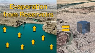
How to estimate Reservoir Evaporation Losses using free data - Kajaki reservoir, Afghanistan

13:26
Pourquoi je ne plante plus que CETTE variété de pommes de terre ? 🥔

15:19