Part 1: Detailed Step-by-Step: Elevation and Slope Map Preparation Using Cartosat-1 DEM in ArcGIS

21:31
Step 2: Detailed Step-by-Step Elevation and Slope Map Preparation Using Cartosat-1 DEM in ArcGIS

18:37
[🇺🇸🇪🇺🇨🇦] LES USA PEUVENT-ILS DÉSACTIVER NOS F-35 ?

27:53
Landsat 8 Image Classification with ArcGIS (Supervised)

23:39
Le coup divin de Bobby Fischer fait s'effondrer le monde entier des échecs ! | « Le jeu du siècle »

20:40
TRUMP est choqué de la réponse du CANADA
21:13
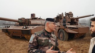
Leclerc VS Jaguar ? Un choix stratégique expliqué par un Colonel

17:31
🔥 Alice Weidel RECHNET AB! Scholz & Merz brechen ALLE Versprechen! 🚨
30:29