MAGIC Webinar: Cartography with ESRI's John Nelson

45:07
MAGIC Webinar: Using LiDAR Data in QGIS

52:50
MAGIC Webinar: ArcGIS Experience Builder - Advice, Hints, and Recommendations for App Success

1:15:59
AIV Product Overview & Capabilities | Transforming Data into Insights

28:39
Challenger Deep as a Micro World
53:34
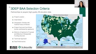
MAGIC Webinar: USGS 3D Elevation Program

54:07
MAGIC Webinar: Bridging the Gap Between GIS and Hydraulic Water Models
30:29
Des Ouvriers du Bâtiment Ingénieux Qui Sont À un Autre Niveau

1:49:12