Como visualizar o perfil de elevação do terreno no Google Earth

15:56
Como inserir e georreferenciar cartas topográficas no Google Earth
33:04
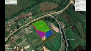
Como elaborar um croqui utilizando o Google Earth (Parte 1).
13:52
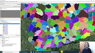
Como obter o mapa do município e visualizar o seu limite no Google Earth.
21:04
Dangerous Idiots Fastest Truck & Heavy Equipment Fails | Extreme Oversized Truck Transport #7

12:35
Medição de distâncias e áreas com o App do Google Earth em smartphones

8:06
COMO GERAR O PERFIL DE ELEVAÇÃO DO TERRENO NO GOOGLE EARTH?
21:32
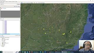
Como obter os limites de bairros e visualizá-los no Google Earth

6:34