An Overview of Aerial Mapping with Pixhawk, Pix4D, and GoPro Hero3+

17:42
What Does A $350K LiDAR Project REALLY Look Like?

29:18
PX4 VIO Setup with Jetson Nano and Intel T265 - Auterion VIO Fork
6:11
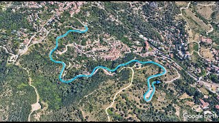
3D Map overlay for GoPro videos with GPS and Google Earth

15:46
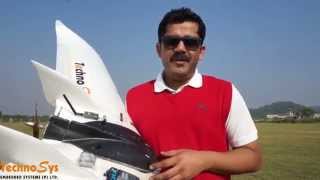
3DR Aero Fixed Wing UAV Introduction

9:30
Pix4D, QGIS, & GDAL Library for Manually Georeferencing Aerial Mosaics & Google Map Tiling

21:22
¿Cual es la mejor GoPro? comparativa en español
5:52
AutoTune Flight Mode Demo For ArduPlane using Pixhawk

17:21