3D Tiles and Cesium Ion Plugin in QGIS
2:55
Download Coloured LiDAR Point Clouds for the Netherlands (AHN4) from GeoTiles.nl
16:51
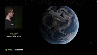
Digital Twins Go Geospatial With OpenUSD, 3D Tiles, and Cesium
2:48
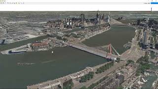
Using the Cesium ion plugin in QGIS

16:47
Quick Flood Analysis with QGIS

18:57
Create Accurate Maps with Blender GIS and QGIS
10:16
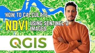
HOW TO DOWNLOAD SENTINEL-2 IMAGES AND CALCULATE NDVI USING QGIS - TUTORIAL

8:57
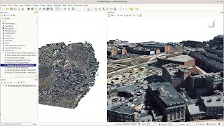
Creating 3D maps in QGIS

23:39