VAP using the new L2 LiDAR for topographic survey. LiDAR drone for hire

22:10
[DEMO Tutorial 2024]🟢 LiDAR DJI Zenmuse L2 🙀 56 Hectáreas en 15 Min 20 min de PostProceso DJI TERRA
9:08
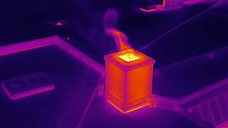
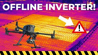
Using Drones for Thermal Roof Inspections and Water Ingress Assessment

58:01
How to Enter the Drone LIDAR Business

41:50
Ultimate Guide To Drone Mapping

15:57
Effortless Surveying & Mapping with the Discovery 3 LiDAR Drone | Field Demonstration

3:50
Volume Metric Assessments by VAP Drone

1:03:09
Ask Us Anything | DJI Zenmuse L2 | BAAM.Tech Webinars
15:29