Unlock the Secrets of Tree Height Mapping!
1:30:06
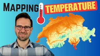
Unlock the Secrets of Temperature Visualization in R!

1:07:52
Unlocking the Secrets of 3D Building Maps

25:47
Segmenting Satellite Imagery with the Segment Anything Model (SAM)
57:50
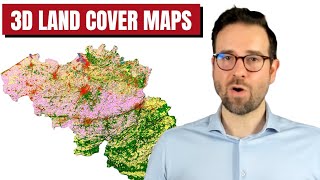
Create Stunning 3D Land Cover Maps in R Programming!

8:01
Open data: 1-meter resolution Global Tree Canopy Height Model (Download via GEE & AWS CLI)

24:52
The Most Useful Thing AI Has Done

46:15
Libere el poder del SIG: ¡cree mapas REM asombrosos con datos Lidar en R!

57:07