Reclassify & Convert Raster to Shapefile || Shapefile Creation from DEM || GIS Tutorials

14:00
Stream Order from a Digital Elevation Model (DEM) using ArcGIS

26:15
ArcGIS complete course Watershed Delineation and Drainage line from DEM

8:23
how to Reclassify and Convert Raster Image to Polygone Shapefile using ArcGIS
21:42
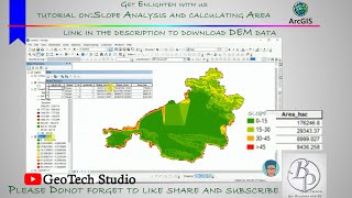
Slope Analysis from DEM in ArcGIS || Slope-Wise Area Calculation || @GeoTech Studio

14:41
Hypsometric curve and hypsometric integral in ArcMap || hypsometric curve calculation & Drawing

19:10
analysis of a digital elevation model in ArcMAP

8:57
Creating 3D maps in QGIS

30:08