Drawing a cross-section across northern England

23:33
Interpreting a geological map - with faults

38:21
The Highlands Controversy - revisited: geo-interpretation lessons from history

5:25
Object Oriented Ontology : Ontocubism [1]

22:26
Restoring cross-sections to aid subsurface structural interpretation
20:35
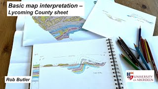
Basic map interpretation - Lycoming County sheet

46:13
YMC Educational Talks - Pegmatites of the Pikes Peak Batholith by Mark Jacobson

20:15
Recognising basin inversion.... by sketch restoration

19:34