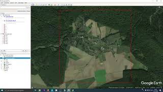
Creating map Dem from Google earth

13:25
Extracting Elevation Data from Google Earth

12:17
How to Create 3D Terrain with Google Maps and Blender!

57:14
Possible alternative method of creating a map dem

16:56
Building a navMesh for cow husbandry placeable - FS19

11:05
Downloading SRTM DEM data using QGIS

40:58
How much do you really know about map sizes?
48:42
2.1.0 Reales Höhenmodell als Terrain in GE imortieren | Modding Tutorial LS 22

17:13