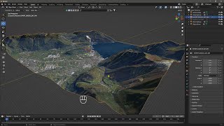
Creating a Digital Twin with 3D Geospatial Data, ArcGIS Pro, and Python #Maps #GIS #datascience

21:56
Introduction to ArcGIS Pro (2024) #Maps #GIS #spatialdata #python #datascience

16:12
Animate Your Maps with ArcGIS Pro

54:20
Exploring Digital Twins in Urban Planning and AEC
12:05
Videoguide - Import Terrain, BlenderGIS, Google Maps, Landscape, Buildings, Geographic Information

19:28
Introduction to Python in ArcGIS Pro

58:55
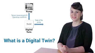
How to build a digital twin
1:03:41
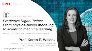
"Predictive Digital Twins: From physics-based modeling to scientific machine learning" Prof. Willcox
8:57