Como fazer composição RGB com imagens Landsat 8 e Sentinel 2 no QGIS
32:49
Cómo crear un mapa de localización en QGIS
13:20
Descargar imágenes Landsat y Sentinel 2

32:01
Landsat 8 Image Classification using QGIS
9:35
Como gerar COMPOSIÇÃO em cor verdadeira com imagem do Satélite Sentinel 2 com no QGIS
18:38
Descarga, composición y pansharpening de imágenes CBERS 04A
24:47
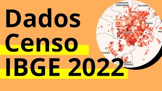
Como acessar os dados do Censo IBGE 2022 - Plataforma Geográfica Interativa e plugin no QGIS
13:12
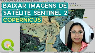
Baixar imagens do satélite Sentinel 2 no novo site do Copernicus e fazer composição colorida no QGIS
10:39