COMO CRIAR MAPAS DE NDVI DE MANEIRA GRATUITA E SIMPLES - Passo a Passo
8:10
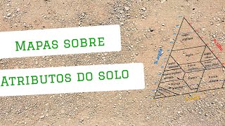
MAPAS DE TEXTURA DE SOLO - Como podem ser úteis
31:35
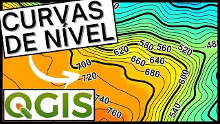
MAPA de CURVAS DE NÍVEL (TOPOGRAFIA) do zero (DEFINITIVO)
9:13
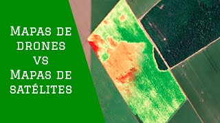
As maiores diferenças entre imagens NDVI de drones e imagens de satélite
23:54
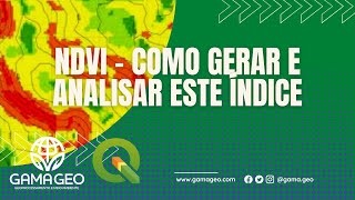
Aprenda sobre NDVI do ZERO e como gerar e analisar este ÍNDICE tão importante no QGIS
47:55
Como baixar imagens de satélites gratuitas [PASSO A PASSO]

19:47
Mesclagem e Mosaicagem Imagens de Satélite Automaticamente usando Python e GDAL
34:41
Como calcular o ÍNDICE NDVI utilizando imagens de satélite no QGIS?
4:47:02