Como Baixar o Modelo Digital de Elevação no site USGS Earth Explore

11:03
Vídeo 01 - SR - Cadastro no EarthExplorer - USGS
12:30
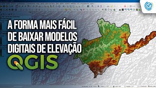
Como Baixar MDE no QGIS usando o Plugin OpenTopography DEM Downloader

6:46
Como Baixar SHAPEFILE de Vias de Acesso Usando PYTHON

8:03
COMO BAIXAR MODELO DIGITAL DE ELEVAÇÃO DO USGS (QGIS)

14:07
Personne n'est jamais mort | Ce qu'Albert Einstein a révélé sur Dieu et la réalité

11:31
Como converter Coordenadas Geográficas para UTM usando Python

30:29
Des Ouvriers du Bâtiment Ingénieux Qui Sont À un Autre Niveau

1:49:12