All about using maps in AutoCAD

19:48
All about Data extraction in AutoCAD

12:18
INSERTING GOOGLE EARTH IMAGE TO AUTOCAD | MAKE SITE PLAN IN AUTOCAD USING GOOGLE EARTH
26:35
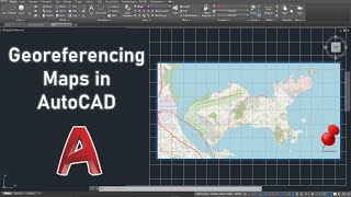
Georeferencing Maps in AutoCAD

33:09
How to use Google Earth in AutoCAD - Complete tutorial

56:30
Fun With AutoCAD Map Full

8:57
Creating 3D maps in QGIS
12:05
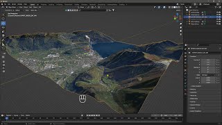
Videoguide - Import Terrain, BlenderGIS, Google Maps, Landscape, Buildings, Geographic Information

6:57