DJI/M300/L1 DJI Pilot 2 Lidar Mission Planning With Terrain Following
18:06
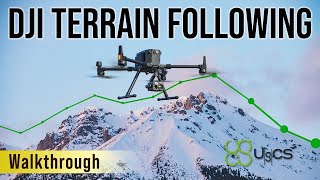
How to fly a DJI Drone Terrain Following Mission with UgCS

27:42
DJI PILOT 2 MAPPING

49:58
High Precision UAS Photogrammetry with the Quantum Trinity Pro and Phase One P5 Camera

15:17
How Accurate is Drone LiDAR using DJI Zenmuse L2

26:27
The Basics of LiDar Technology
17:00
Zenmuse L1 Workflow Part 1 of 3: Flight Planning

17:46
LEVANTAMIENTO CON L2 - PARTE 1 | Armado del Matrice 350 RTK, Plan de vuelo, Calibración del IMU

11:18