Crop Type Detection Using Sentinel-1 SAR Imagery in Google Earth Engine

1:09:01
Wildfire Detection and Vegetation Change Mapping Using VIIRS & Landsat 8 Imagery in Earth Engine

27:38
Processing Sentinel-1 Images for Earthquake Displacement Detection with SNAP Software

1:35:07
Google Earth Engine 101: An Introduction for Complete Beginners

8:40
Downloading High-Resolution Topographic Maps for Free
21:43
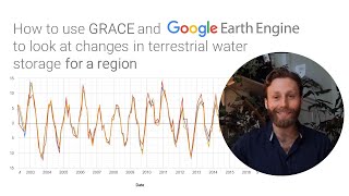
How to use GRACE and Earth Engine to look at changes in terrestrial water storage for a region

11:22
Earthquake & Volcanic Risk | Santorini - Greece - Türkiye - Italy

13:33
Method LULC Classification Using Sentinel-1 SAR Imagery in Google Earth Engine

14:25