Clipping and Joining layers in QGIS

7:39
using the print composer in Qgis

8:22
Vector tools in Qgis (clip, export, symbology, select, count)

9:49
Using ImageJ (FiJi) to measure particles on SEM images
10:35
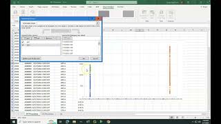
Filtering and comparing data in Excel (time series, multiple x-axis)

6:26
3D map view and hillshade of Lidar in QGis.

3:54
Fiji Tip 2: Measuring particle sizes in Fiji ImageJ

5:40
The Europa Clipper Mission

20:59