Baixar dados do Mapbiomas com recorte para sua área de estudo pelo Google Earth Engine
5:27
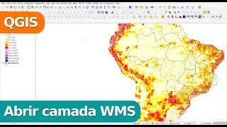
Abrir dados de Geoserviços WMS no QGIS
13:39
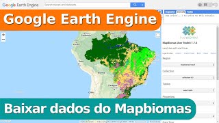
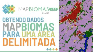
Baixar dados do Mapbiomas pelo Google Earth Engine - uso e cobertura
21:37
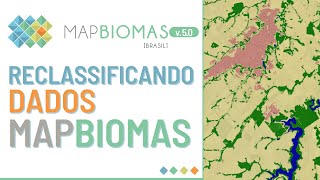
Reclassificação de camadas Mapbiomas no QGIS
9:05
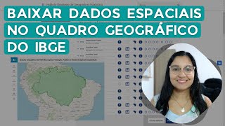
Download spatial data from the IBGE Geographical Framework
13:36
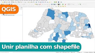
Unir tabela com shapefile no QGIS
9:34
VÍDEO 3 - COMO ABRIR ARQUIVOS NO QGIS E GOOGLE EARTH
32:08
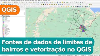
Fontes de dados de limites de bairros e vetorização no QGIS
14:33